If a photo is geo-tagged with GPS or IPTC data(or both), a small white pushpin icon appears on the top-right corner of a thumbnail. See the picture below. On the Info Panel, you can see GPS and IPTC data correspondingly.
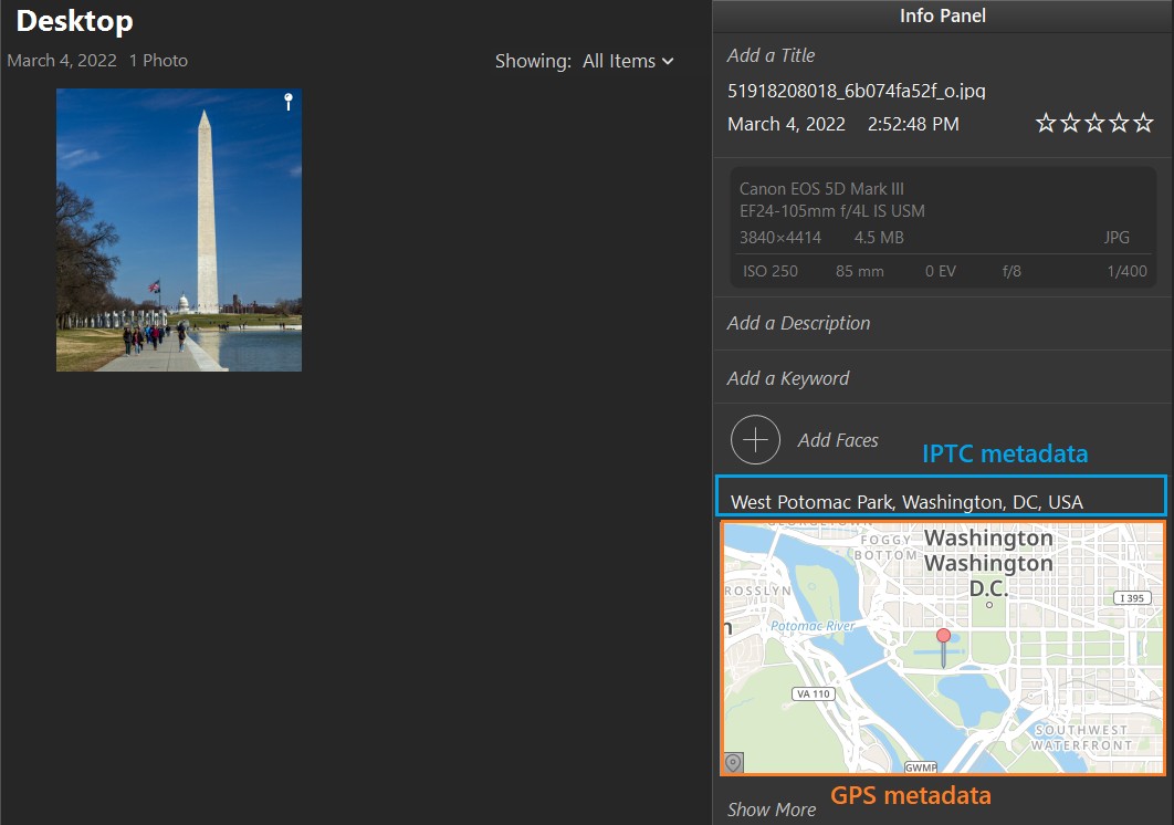
In the picture above, IPTC metadata is highlighted with blue color. The text shows composed IPTC fields in the following order: Sublocation, City, State(Province), Country

If GPS metadata is present, Phototheca shows a minimap with a pushpin on the exact place where a photo was taken:
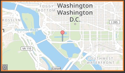
You can drag a map with a mouse or zoom in and zoom out with a mouse wheel. Hint: You can resize Info Panel and make it wider to enlarge a minimap.
Detailed view of a location data
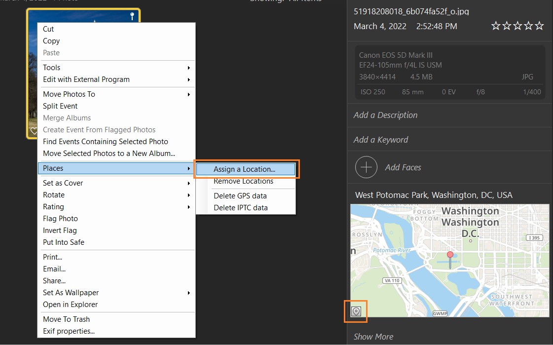
To get a more granular look at location details, click the small button with the marker icon in the left-bottom corner of the minimap or right-click a photo and go to Places->Assign a Location…
You will be presented with a new dialog:
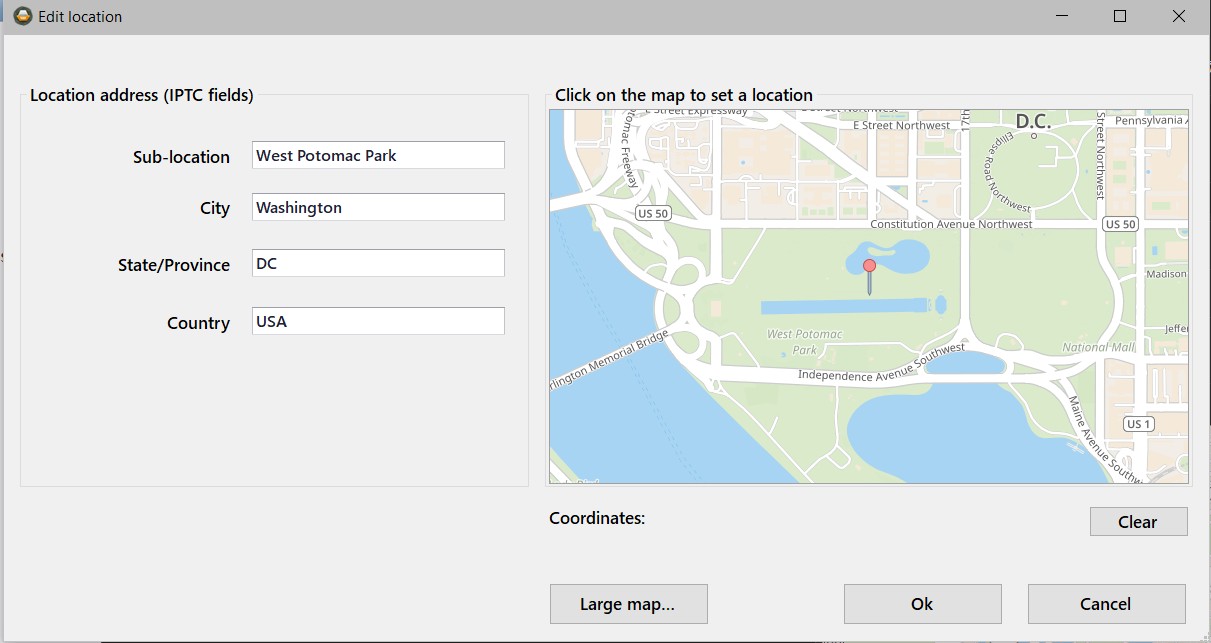
On the left side, there are four IPTC fields. On the right side is a map with a pushpin that shows the photo’s exact location.
You can click the “Large map…” button to see a full-screen map.